S1E9 — Harnessing Google Street View Imagery to Map Urban Greenery with Fábio Duarte of MIT Senseable City Lab
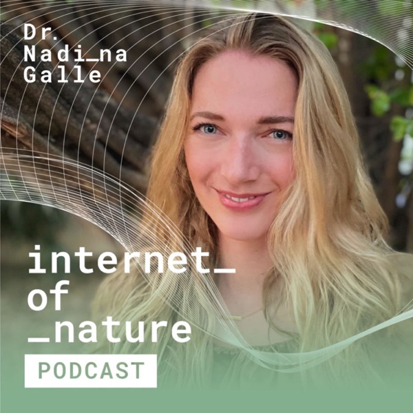
Internet of Nature Podcast - En podcast av Dr. Nadina Galle

Kategorier:
Dr. Nadina Galle is joined by Fábio Duarte, Principal Research Scientist at the MIT Senseable City Lab, to discuss how we can take advantage of "opportunistic data", why urban ecology is often disregarded, how Google Street View imagery and computer vision led to the development of Treepedia, why urban biodiversity matters, how Diversitree came to be, and his biggest inspirations for a brighter urban future. Follow Nadina and the Internet of Nature Podcast on all social platforms: Instagram: https://www.instagram.com/internetofnature_ LinkedIn: https://www.linkedin.com/in/nadinagalle/ Twitter: https://twitter.com/earthtonadina This podcast is brought to you by the Connecting Nature Enterprise Platform, an innovation of the Connecting Nature project which is funded by the Horizon 2020 Framework Programme of the European Union Grant Agreement No 730222. Produced by Little Red Flames.

